
GeoEnable
Free guide · PDF

Open Geospatial Standards: a practical guide

A short, plain-English guide for anyone who works with location data: what each standard is for, how they fit together, and where to start.
  • OGC, the ISO 19100 series, INSPIRE, the UN-IGIF, FELA and LADM, each in a few lines
  • How they fit together, from national policy to the asset
  • A quick-start checklist you can use this week
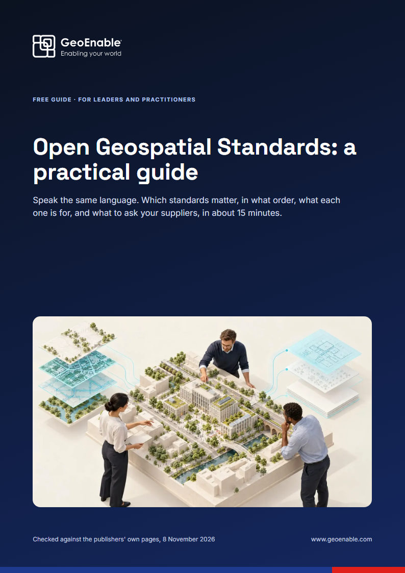
Cover of Open Geospatial Standards: a practical guide

Get the free guide

Open Geospatial Standards: a practical guide. Please use your work email.

Free and personal email addresses can't be accepted. We never share your details.

What's inside

Why open standards matter
Data that can be found, trusted and reused, without re-keying or lock-in.
Three tiers that build up
Foundation, core and advanced: start at the bottom and go only as far as you need.
What each standard is for
OGC services and APIs, ISO 19115-1 metadata, ISO 19157-1 data quality, LADM and more.
National and regional frameworks
INSPIRE, the UN-IGIF's nine pathways and FELA, in plain English.
What to put in contracts
Four clauses and one question to ask before you buy.
A starter checklist
Twelve quick checks, with a score that tells you where to start.

Written for

  • GIS managers and analysts
  • Information and data managers
  • Asset managers
  • Surveyors
  • Public-sector programme leads
  • Procurement teams
  • People new to GIS

This guide is general information, not legal or procurement advice. Standard names and numbers belong to their publishers; always check the current edition with the publisher or your national standards body.