
The right geospatial skills, in the right roles
We create spatial training frameworks and align competencies to the jobs people actually do, so training budgets build real capability, and you can show it.
We have done this with many organisations, including central government and the World Bank.

Competence, capability, capacity
Technology rarely fails on its own. Programmes stall because roles are unclear, skills are uneven and learning stops when the consultants leave. We start with people.
Competence
What each person can do, to a stated level, with evidence. Written as clear, observable outcomes.
Capability
What your team or organisation can do together: the processes, tools and governance that let skills be used.
Capacity
Whether you have enough of it, in the right places, at the right time, to deliver the programme.
Four steps, aligned to recognised standards
Bloom's taxonomy, applied to geospatial work
Bloom's taxonomy (revised by Anderson and Krathwohl in 2001) describes six levels of thinking. We use it to write learning outcomes that say exactly what someone will be able to do, and to pitch each course at the right level for the role.
| Level | What it means | A geospatial example: the learner can… |
|---|---|---|
| Remember | Recall facts and terms | name the parts of a coordinate reference system |
| Understand | Explain ideas | explain why two datasets in different datums don't line up |
| Apply | Use a method in a real task | georeference survey data and publish it as a web map |
| Analyse | Break a problem into parts | trace why an asset register and a map disagree |
| Evaluate | Judge against criteria | judge whether a dataset is fit for purpose, using ISO 19157-1 data quality measures |
| Create | Design something new | design a spatial data infrastructure plan for a department |
Survey skills that keep everything in the right place
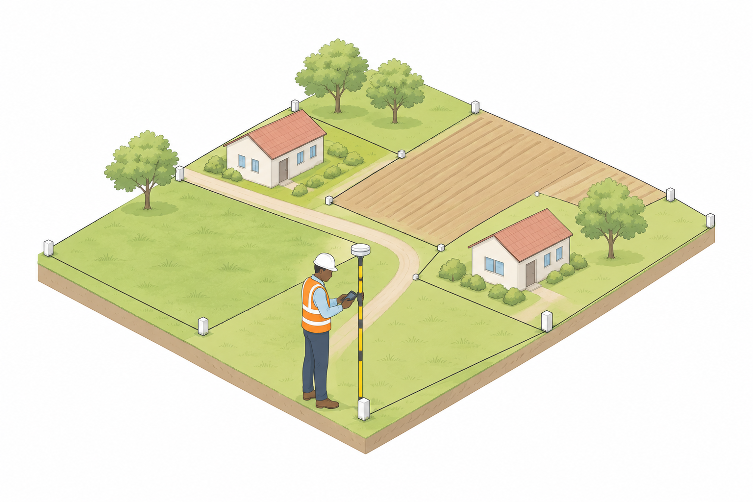
Measured survey is where geospatial data begins: topographic, measured building and utility surveys, control, datums and accuracy. If the people who specify, commission and check surveys lack the skills, every map and model built on them inherits the error.
We build measured survey into frameworks for clients and their supply chains, drawing on RICS guidance, and on geodesy and geomatics skills for drones (UAV/UAS), laser scanning and reality capture.
Frameworks and standards we align with
We align your framework to recognised references, so roles, levels and training are comparable across organisations and countries. Links go to the publishers' own pages.
| Framework | Published by | What we use it for |
|---|---|---|
| Geospatial Technology Competency Model (GTCM) | US Department of Labor, Employment and Training Administration, through its Competency Model Clearinghouse | The tiers of foundational, industry and occupation-specific geospatial competencies; a strong reference for role profiles. careeronestop.org |
| Geographic Information Science and Technology (GIS&T) Body of Knowledge | University Consortium for Geographic Information Science (UCGIS) | The knowledge areas and topics of the discipline; we use it to scope curricula and learning outcomes. ucgis.org |
| Measured surveys of land, buildings and utilities (guidance note, 3rd edition) | RICS | Specifying, commissioning and checking measured, topographic and utility surveys. rics.org |
| GIS specialist competencies (revised 2021) | Chartered Institution of Civil Engineering Surveyors (CICES), revised with the Association for Geographic Information (AGI) | Professional GIS competencies through the project life cycle, at four levels from appreciation to ability. cices.org |
| Chartered Geographer competencies | Royal Geographical Society (with IBG) | Professional recognition for geographers and GIS professionals; our Esri UK partner course carries CPD towards it. rgs.org |
| ISO 19650 series: capability and capacity | ISO (in the UK, BSI as BS EN ISO 19650) | ISO 19650-2 asks each task team to assess its capability and capacity, and the appointing party to weigh competence when appointing; we turn that into roles and skills for information and GIS teams. |
| ISO 55000 series: asset management | ISO | Competence of the people who manage assets and asset information, part of an asset management system under ISO 55001. |
| UN-IGIF: Capacity and Education pathway | United Nations Committee of Experts on Global Geospatial Information Management (UN-GGIM) | Strategic pathway 8 of the Integrated Geospatial Information Framework, for national geospatial skills and education plans. ggim.un.org |
Framework names belong to their publishers. We align to them; we don't certify against them on the publishers' behalf.
From government departments to international programmes
We have created training frameworks and aligned competencies for multiple organisations, including central government and the World Bank, and designed courses for professional bodies such as RICS and technology partners such as Esri UK.
- Role profiles from field staff to the board
- Learning outcomes and assessments that stand up to scrutiny
- Skills transfer built in, so your people can run it themselves
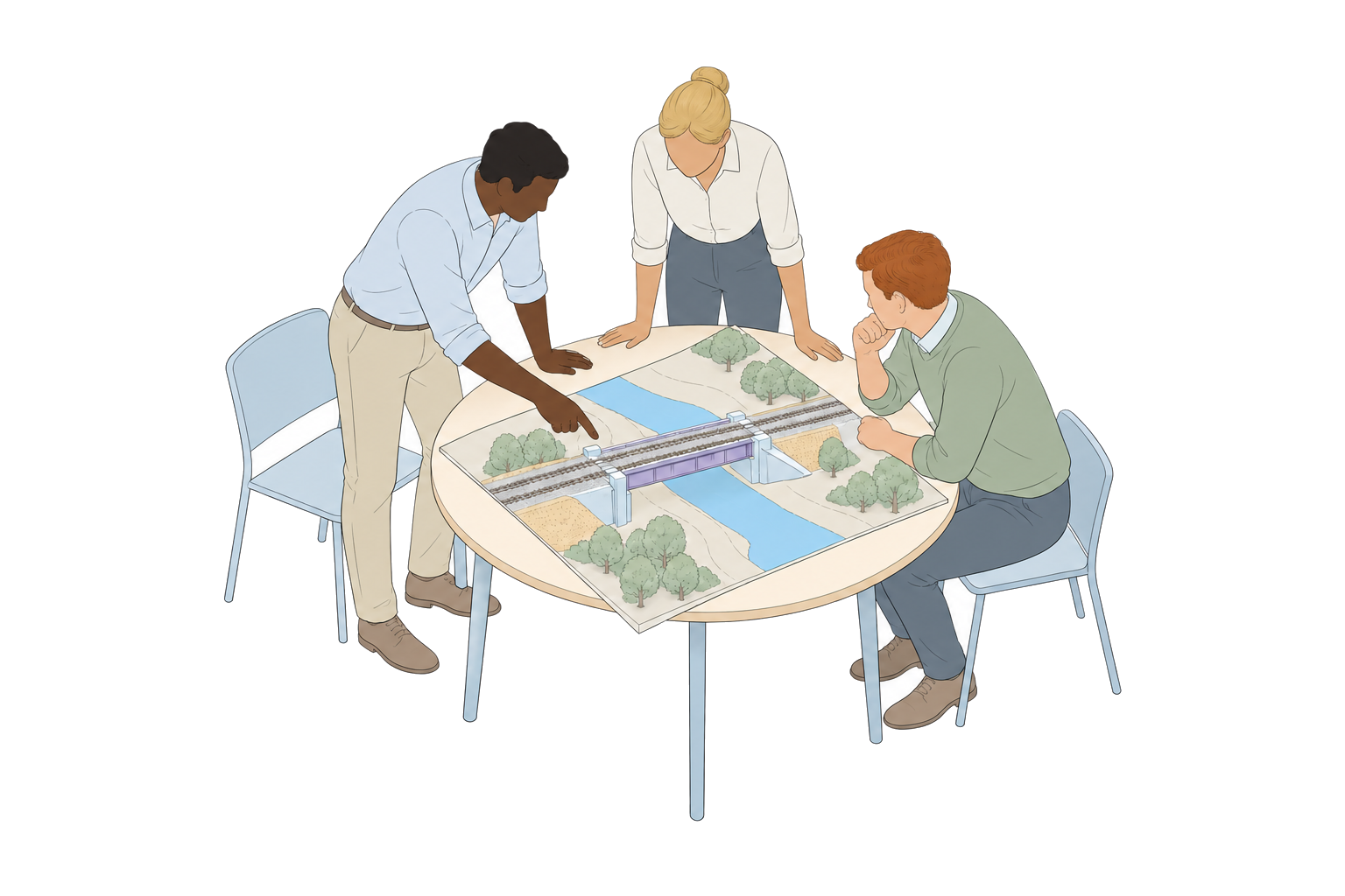
Training delivered with and for leading organisations
We have designed and delivered training with professional bodies, standards organisations and technology partners, and for many private organisations, central government and international institutions.








 From competence to capability
Measure where you are, then build from there
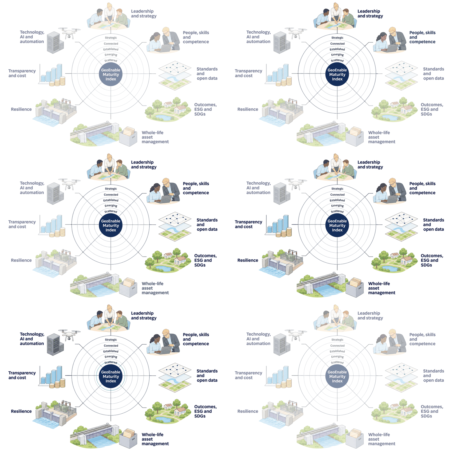
Competence frameworks and the GeoEnable Maturity Index™ work together: one for people, one for the whole organisation.
Build a framework your people can grow into
Tell us about your roles and your programme, and we will suggest where to start.

We help clients improve infrastructure and property asset management, as well as projects, using geospatial insight and digital tools. Through GIS, location intelligence, digital twins, AI and systems thinking, we enable better decisions and deliver real-world outcomes.
Quick Links

We are BSI Associate Consultants, certified in ISO 19650, ISO 55000, and experienced across ISO 19100, 27001, 9001, 8000, and the EU INSPIRE Directive.

© 2026 GeoEnable Ltd. All Rights Reserved.