
 The GeoEnable LOCATE Framework™
LOCATE: six stages that turn location into value
Our method for making location data pay its way: from leadership and open standards to skills, assets, technology and evidence of outcomes. You can start at any stage, and every plan we offer delivers it.
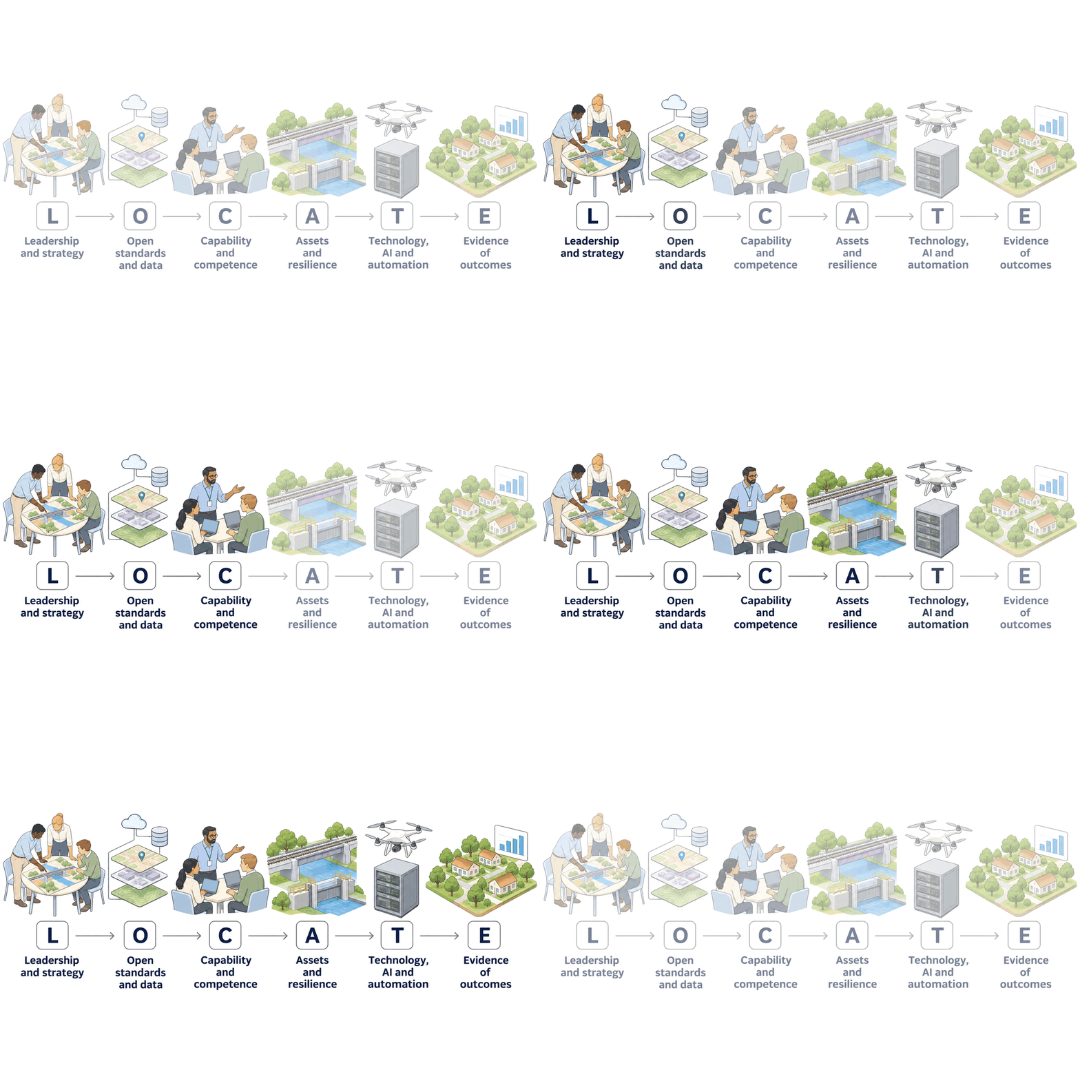
L · O · C · A · T · E
Each stage has a clear outcome. Together they take you from scattered maps to location information your leaders use to decide, invest and report.
Leadership and strategy
A geospatial strategy, a senior owner and a roadmap linked to your organisation's goals. Information treated as an asset, as ISO 55000 describes it.
Outcome: someone senior owns it, and there is a plan the board understands.
Open standards and data
Interoperability, open data, metadata and data quality, so data can be found, trusted and shared without being rebuilt.
Outcome: buy once, use many times, and swap suppliers freely.
Capability and competence
The right skills in every role, from board awareness to specialist practice: competency frameworks, clear learning outcomes and training.
Outcome: your own people run it with confidence.
Assets and resilience
Whole-life asset management with location at its heart: the network, dependencies and criticality, and climate and network resilience.
Outcome: you know what you own, where it is and what matters most.
Technology, AI and automation
Integrated platforms, reality capture, digital twins and AI, built on data good enough to trust and joined to BIM and asset systems.
Outcome: less manual work, earlier warnings, one trusted picture.
Evidence of outcomes
ESG and the UN Sustainable Development Goals, whole-life cost and transparency, measured and reported. Outcomes, not outputs.
Outcome: you can show what location data saves, earns and protects.
Measure, plan, deliver
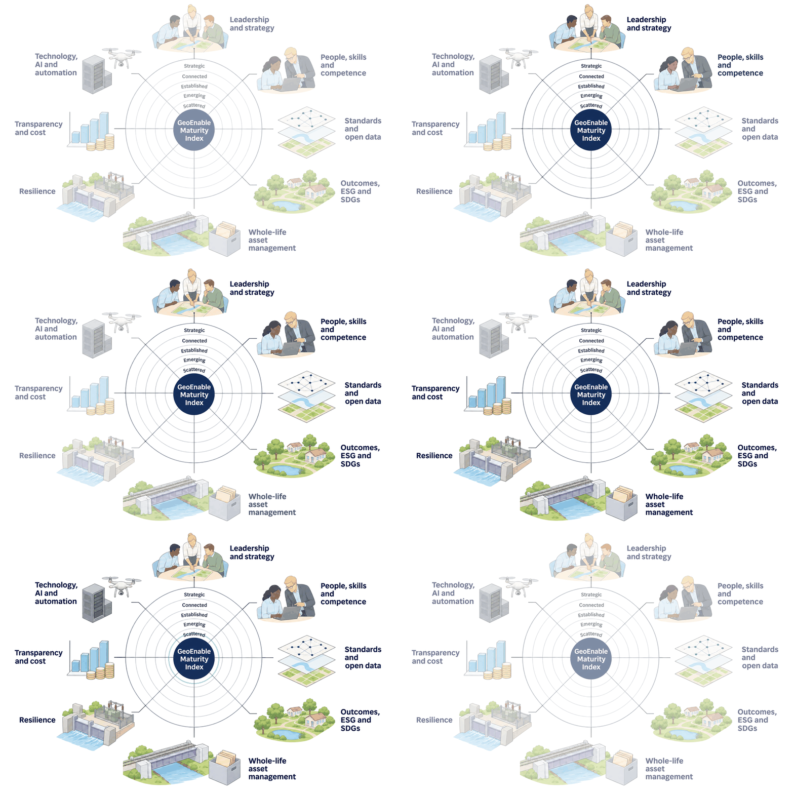
Start by measuring where you stand on each part of LOCATE, from leadership and standards to people, assets, technology and outcomes. Then plan the steps, and deliver them at your pace.
| Plan | Its part in LOCATE | Price |
|---|---|---|
| Geo Health Check | Your LOCATE baseline: where you stand on each stage, what to fix first and what to buy, in 10 working days. | £3,950 one-off |
| GIS On Call | LOCATE support: a senior GIS expert to put the quick wins in place, stage by stage. | £1,950 a month |
| Fractional Chief Geospatial Officer | Leads your LOCATE roadmap: owns the strategy, oversees delivery and mentors your team. | £5,950 a month |
| Geospatial Partner | Delivers LOCATE at scale: leadership plus a delivery team, measured on quarterly outcomes. | £11,950 a month |
Prices plus VAT where applicable. USD and EUR prices and terms are on the pricing page.

Because tools alone don't change anything
Most geospatial programmes stall for the same reasons: nobody owns them, the data won't join up, the skills leave with the consultants, and nobody can say what it all delivered.
LOCATE tackles all six at once, in the order that suits you. It comes from our work on the client side and with governments, infrastructure owners and developers, from King's Cross to national asset registers.

We help clients improve infrastructure and property asset management, as well as projects, using geospatial insight and digital tools. Through GIS, location intelligence, digital twins, AI and systems thinking, we enable better decisions and deliver real-world outcomes.
Quick Links

We are BSI Associate Consultants, certified in ISO 19650, ISO 55000, and experienced across ISO 19100, 27001, 9001, 8000, and the EU INSPIRE Directive.

© 2026 GeoEnable Ltd. All Rights Reserved.