
One trusted record for a £3bn regeneration
How GeoEnable set the information and GIS strategy for Argent at King's Cross: 67 acres of central London, one of Europe's largest city-centre regenerations, with an estimated total project value of £3bn.
Published by Esri UK. PDF, about 0.2 MB.

From spatial data to site navigation


In 2012 Argent engaged GeoEnable to set the information and GIS strategy for one of Europe's largest urban regenerations: 67 acres of brownfield land beside King's Cross and St Pancras.
Argent had asset maps and plans but no practical way to share them or keep them current through constant project phases: over twenty project managers, a wide range of contractors and consultants, and asset data that changed every week.
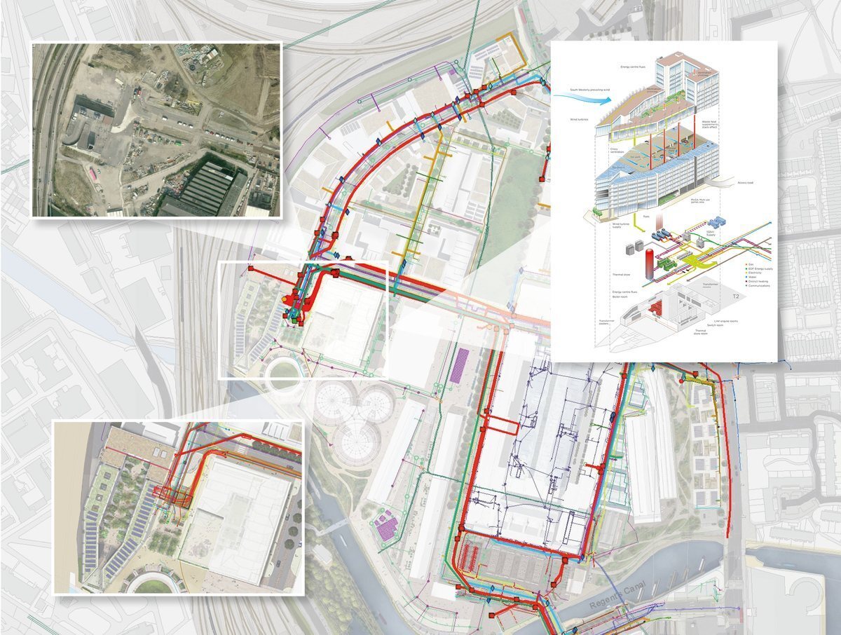
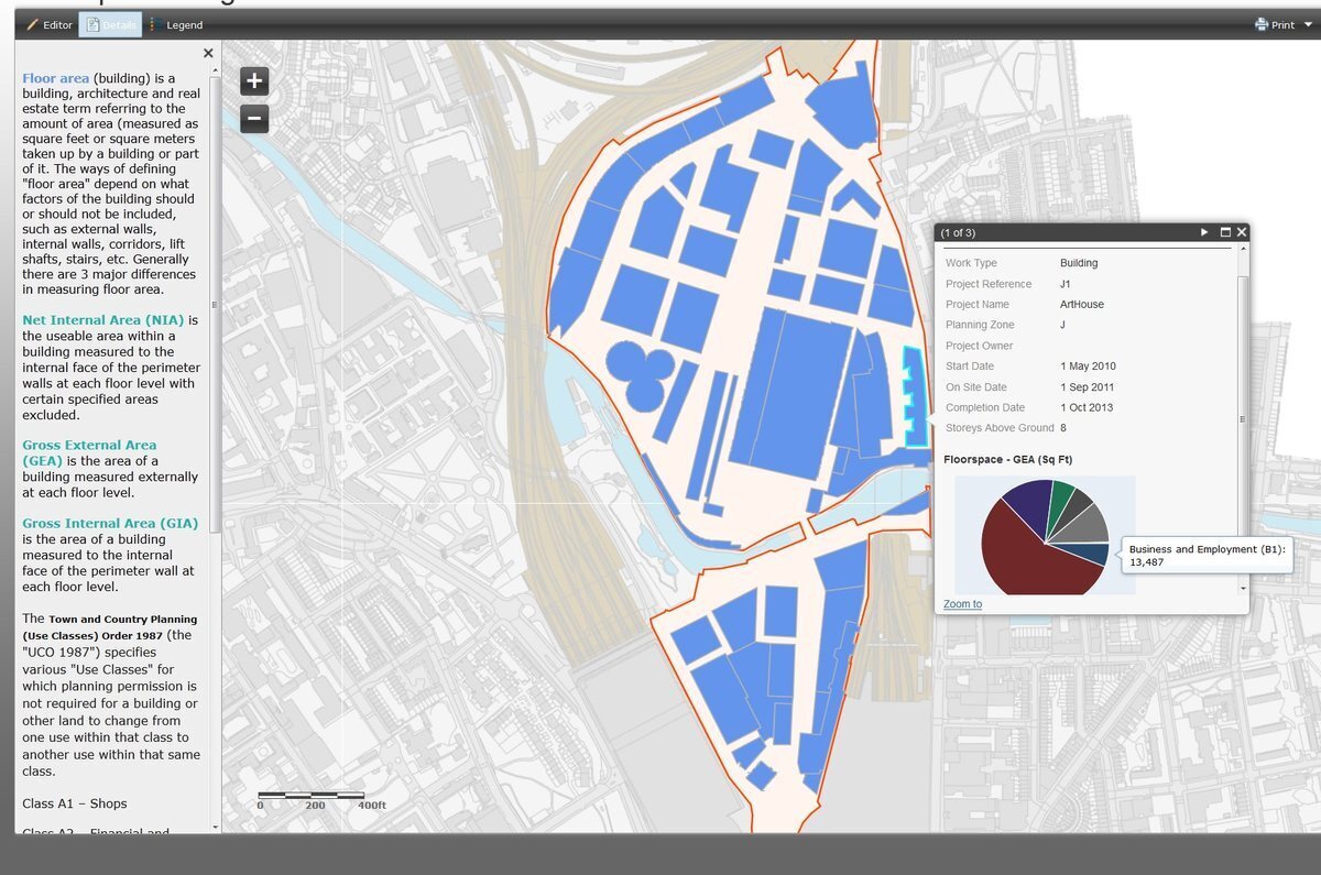
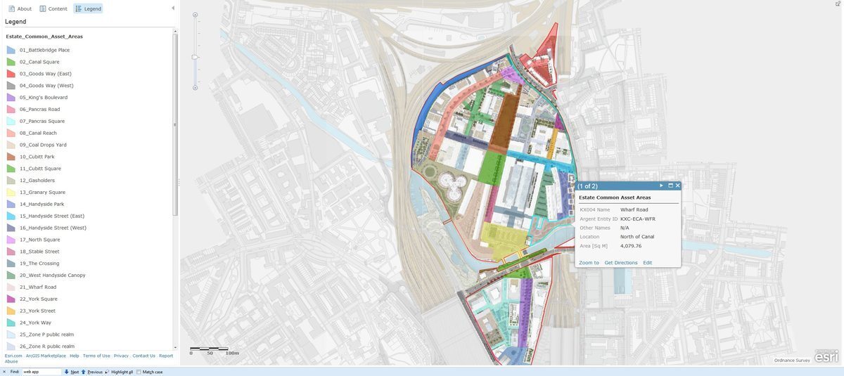
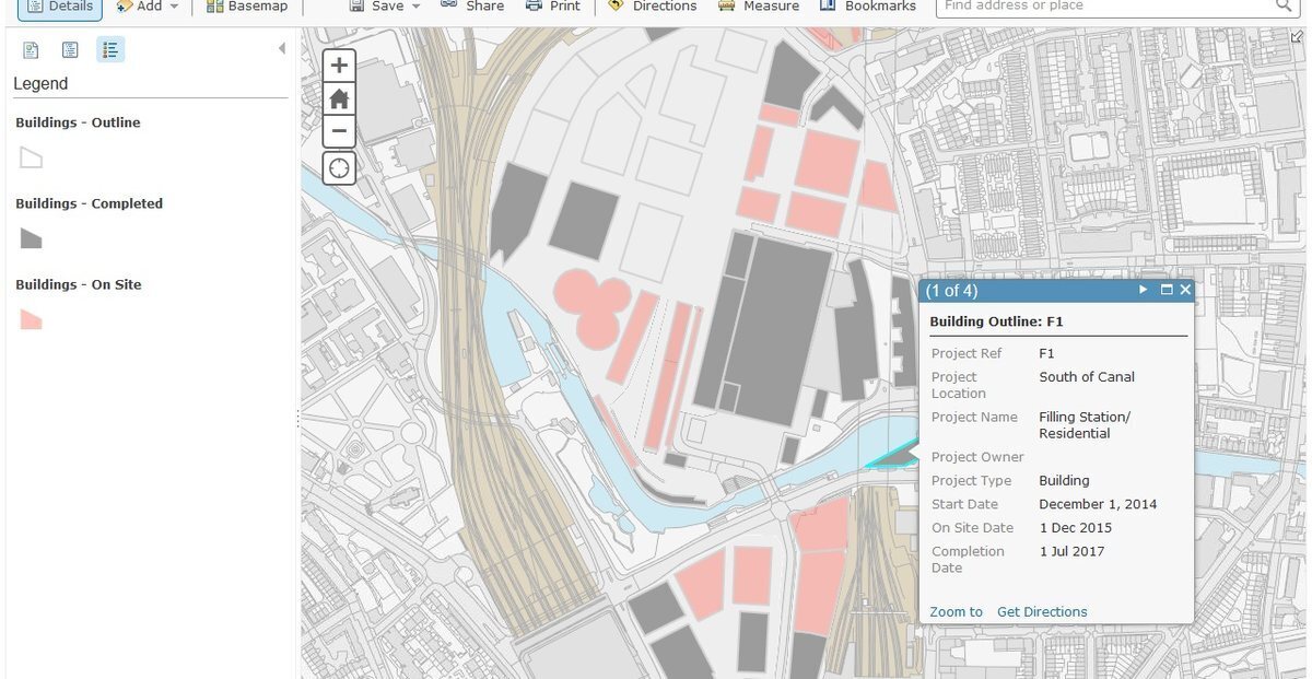
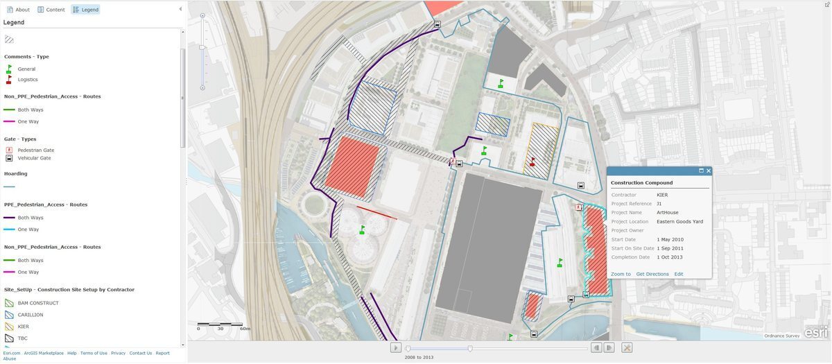
We combined new business processes with ArcGIS Desktop and ArcGIS Online, one of the very first ArcGIS Online implementations in the UK. The estate gained one accurate, shared record of every asset installed and planned, browser and mobile access on site, a time-aware phasing tool, and thematic maps such as floorspace use and estate common areas.
The outcome
The most important result was not software. It was a trusted body of information about the estate: created once, used many times. The same record fed estate management, construction logistics, phasing and the spotting of potential clashes, and business and financial decisions. Everyone, from planners and surveyors to board members, worked from the same accurate information.
“GIS is a strategic asset management tool for business planning as well as site management.”
Lilia Wydra, GIS Manager, Argent
Download the Esri UK case study (PDF)Client logos are shown for identification only. Map screenshots are from the King's Cross GIS (2013 to 2014), with personal details removed.
The Esri UK case study
Esri UK's write-up of the King's Cross GIS: how GeoEnable brought ArcGIS Online and ArcGIS Desktop together with new business processes to give Argent one accurate record of every asset, installed and planned.
Project value: estimated total, including construction, professional fees and interest costs, as reported in the Urban Land Institute's King's Cross case study.
Planning something on this scale?
We help developers, asset owners and their teams build one trusted record of every asset, from first plans to day-to-day operation.

We help clients improve infrastructure and property asset management, as well as projects, using geospatial insight and digital tools. Through GIS, location intelligence, digital twins, AI and systems thinking, we enable better decisions and deliver real-world outcomes.
Quick Links

We are BSI Associate Consultants, certified in ISO 19650, ISO 55000, and experienced across ISO 19100, 27001, 9001, 8000, and the EU INSPIRE Directive.

© 2026 GeoEnable Ltd. All Rights Reserved.